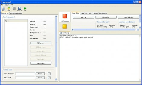
FRAGSTATS is a program designed to compute a wide variety of landscape metrics for categorical map patterns. It simply quantifies the spatial heterogeneity of the landscape as represented in either a categorical map or continuous surface. You can establish a sound basis for defining and scaling the landscape in terms of thematic content and resolution and spatial grain and grain.

WCG uses idle computer time to help tackle projects that benefit humanity.


Comments (2)