

Work with geospatial data, analyze spatial patterns, calculate and categorize landscape metrics. The tool computes patch-based, cell-based, and surface metrics. Provides several options for sampling the landscape to analyze sub-landscapes. Supports multiple raster images, including ASCII grid, 8-, 16- and 32-bit integer grids, ESRI grid, GeoTIFF grid, etc.
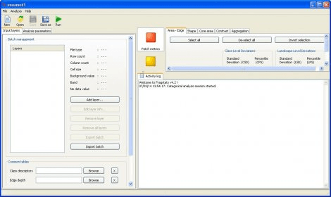
FRAGSTATS is a program designed to compute a wide variety of landscape metrics for categorical map patterns. It simply quantifies the spatial heterogeneity of the landscape as represented in either a categorical map or continuous surface. You can establish a sound basis for defining and scaling the landscape in terms of thematic content and resolution and spatial grain and grain.




Comments (1)